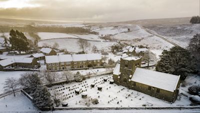
Snow and ice warnings mapped as UK faces coldest night of the year

Discomfort is already setting in across Britain as temperatures plummet and snow starts to fall.
Some schools in Scotland have been forced to close and there’s likely to be more over the coming days with snowfall accumulations heading towards 40cm in the worst hit places.
Temperatures will plummet overnight with a chance of recording the coldest night of the year so far, as -15°C (5°F) is possible in sheltered glens of Scotland. With these freezing temperatures widespread, ice will develop.
Several snow and ice warnings are in place through to Friday and could well be upgraded if the weather situation worsens.
Right now, cold Arctic air is shooting down and mild air is trying to edge in from the southwest and this will lead to a battleground over the next 48 hours as the two air masses collide.
As we head into Wednesday rain will push up from the south bringing the threat of snow and ice to southern England and Wales.
On Thursday low pressure will swing in off the Atlantic, bringing plenty of moisture wrapped up in it that could quickly turn to snow as it edges its way northeastwards across Britain.
The winds will also pick up, which could make driving conditions tricky. This type of weather isn’t unusual at this time of year. Despite us heading towards Spring, statistically there’s more chance of snow at Easter than Christmas.